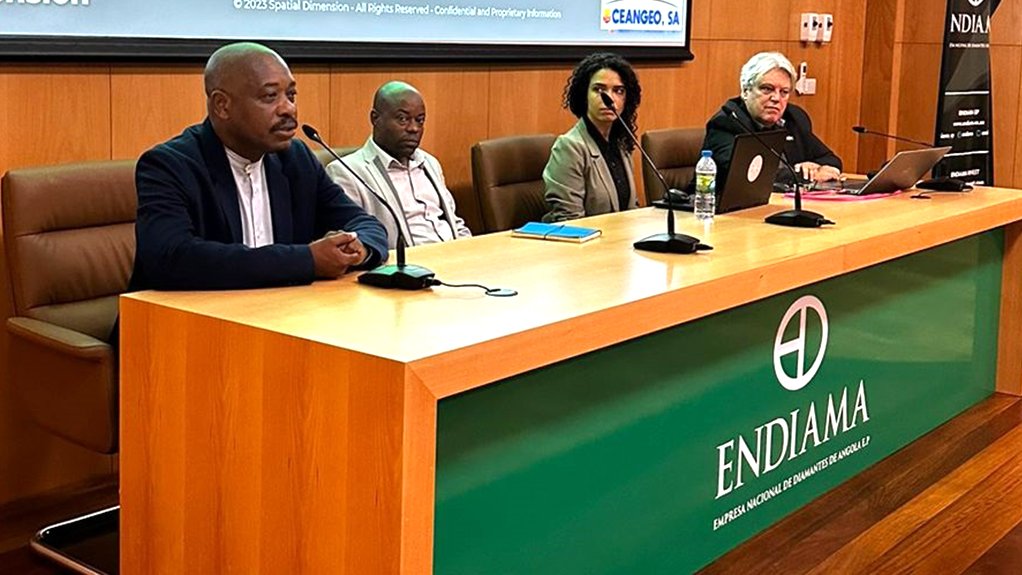
Land management solutions provider Spatial Dimension has started activities to implement its Landfolio solution for the Angolan government.
Partnering with Angolan company OceanGeo SA, Spatial Dimension will deliver a modern, online mining cadastre system for the Agência Nacional de Recursos Minerais – the national regulatory body for mineral resources.
The project, awarded by contracting agency Endiama, will have a 12-month implementation period followed by a 12-month support and maintenance phase.
“Landfolio’s selection by Angola further solidifies its position as the de facto standard for online and transparent mining cadastre systems. With this win, 20 African countries now leverage Landfolio to manage compliance [with] and administration of their mineral rights,” the company says.
“We are excited to partner with the Angolan government and OceanGeo SA on this crucial project. Landfolio’s implementation will significantly enhance transparency and efficiency in Angola’s mining sector, attracting further investment and responsible resource development,” comments Spatial Dimension CEO Bill Feast.
Spatial Dimension was founded in South Africa in 1999 and it has expanded its operations to North and South America, as well as Australia.
The company delivered its first mining cadastre project, in Mozambique, in 2003. Many other African countries, including the Democratic Republic of Congo, Cameroon, Côte d’Ivoire, Ethiopia, Guinea, Kenya, Malawi, Mauritania, Libya and Zambia, have since enlisted Spatial Dimension’s help in establishing their own online mining cadastre systems.


